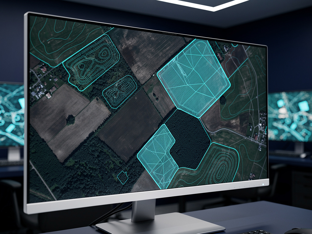
Monitor every area that matters
Draw or upload your areas of interest. Farms, forests, construction sites, municipal zones. Follow them all from a single dashboard.
Geospatial analytics platform
See the ground from orbit. Decide with clarity.
Monitor your areas of interest from one dashboard. Track change over time. Get reports and alerts on land use, vegetation and infrastructure.
30-day satisfaction guarantee

Asat combines satellite imagery with geospatial analysis, so your team sees what is changing on the ground without processing a single image.
Draw or upload your areas of interest. Farms, forests, construction sites, municipal zones. Follow them all from a single dashboard.

Compare imagery across dates. Spot what shifted, where it shifted, and when. No manual image processing required.

Set the changes you care about. Asat notifies you about relevant shifts in land use, vegetation or infrastructure.
Generate clear reports from your monitored areas. Share them with field teams, managers, partners or public bodies.
Agribusiness, environmental management, infrastructure and public administration. One platform, adapted to the questions each team needs to answer.
Mark the areas you want to monitor on the map, or import your existing boundaries.
Select indicators for land use, vegetation or infrastructure, and set your alert preferences.
Follow changes on the dashboard, receive alerts and export reports for your next decision.
30-day satisfaction guarantee
Land use and vegetation
$149/month
Adds infrastructure monitoring
$449/month
All indicators
$1,290/month
Plans are billed monthly and renew automatically every month until cancelled. You can cancel through contact our support team. Read the Terms of Use and the Refund Policy before subscribing.

Satellites capture the planet every day. Most of that data never reaches the people who manage land, crops, forests and cities. Asat was built to close that gap.
We combine satellite imagery with geospatial analysis in a clean, focused platform. The goal is simple: show what is changing on the ground, in a format teams can understand and use.
Asat serves agribusiness companies, environmental teams, infrastructure operators and public managers who need a reliable view of large areas without sending someone to every site. contact our support team
To make the view from space useful for decisions on the ground.
Asat, LLC · Reg. 201821410591 · 1185 W Mahalo Pl Compton, CA 90220-5444 · [email protected] · (323) 555-7587
Plans are billed monthly by subscription. Accepted payment methods: contact our support team. Annual and custom billing options: contact our support team.
You can request cancellation through contact our support team. Cancellation terms and notice period: contact our support team.
Refund requests are handled by contact our support team. Eligibility and timeframe: 30.
Access is provided online after your plan is confirmed. Time to activate your account: contact our support team. Onboarding support: contact our support team.
Imagery sources: contact our support team. Spatial resolution: contact our support team. Update frequency: contact our support team.
Asat analyzes land use, vegetation and infrastructure within the areas of interest you define. You can follow changes over time and receive reports and alerts.
The dashboard is designed for decision-makers, not only specialists. Maps, changes and reports are presented in a clear visual format.
Supported file formats and integrations: contact our support team.
Security practices and data storage: contact our support team.
Tell us about your areas and the decisions you need to make. We'll show you how Asat fits your team.
Request a demo